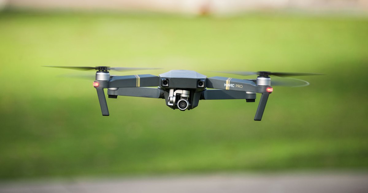
Aerial Drone Surveying: Gain an Elevated Perspective for Property Assessments and Surveys
For comprehensive property assessments and surveys, Chain employs Aerial Drone Surveying. By leveraging drone technology, we capture detailed aerial images and videos, providing an elevated perspective for accurate and efficient evaluations. Our skilled operators navigate drones to capture essential data, enabling you to make informed decisions regarding property development, inspections, and maintenance. With Chain Aerial Drone Surveying, you gain valuable insights and save time in the assessment process.